
Katla volcano beneath the glacier
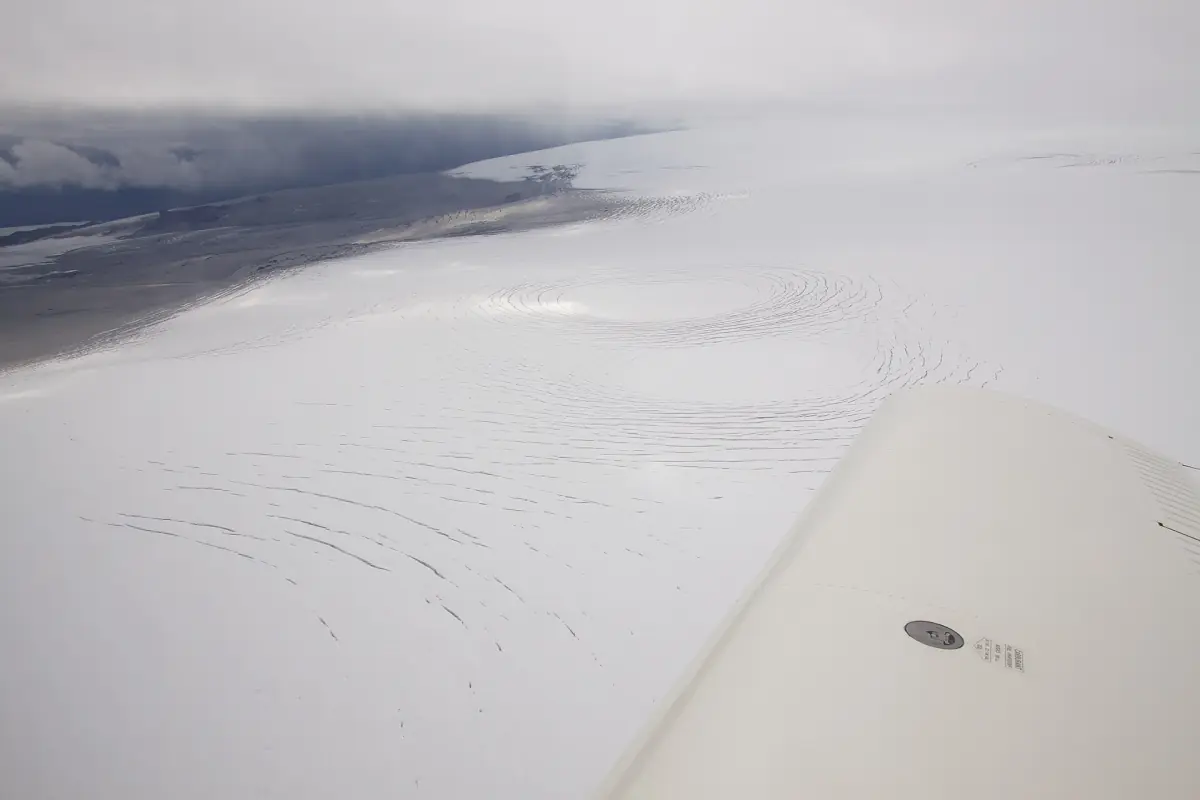
Katla volcano sits beneath Mýrdalsjökull in Iceland’s eastern volcanic zone. Its name is also used for the natural ice-cave visits based in Vík, but the two experiences need separating. A guided cave outing explores ice in the Kötlujökull area, an outlet of the glacier. It is a visit to a changing glacial landscape, rather than a journey into the volcanic crater or an opportunity to watch an eruption.
The Icelandic Met Office describes a volcanic system about 80 km long, with an ice-filled caldera about 9 by 14 km. These dimensions help explain the scale of the geological setting beneath the glacier. They are background information about the system, not a description of a tourist walking route. The Mýrdalsjökull guide explains the glacier and its outlet; the Vík departures cover the practical cave visit.
Katla history: the 1918 eruption
The Icelandic Met Office identifies 1918 as the last Katla eruption to break through the ice. That wording matters: it describes an eruption visible through the glacier rather than claiming that all activity beneath the ice stopped afterward. The earlier Eldgjá fissure eruption is placed at approximately AD 939 in the same geological background. Read both dates as history, rather than as a countdown to a future event.
Historic eruptions give context to the landscape, including volcanic material and the interaction of ice and meltwater. They also explain why local interpretation often returns to 1918. If you want that human perspective without travelling onto the glacier, a lava demonstration in Vík includes a personal account of the eruption. It presents the story indoors, alongside an explanation of volcanism and the behaviour of real molten lava.
Our take: Katla history in Vík
The lava show includes a personal account of the 1918 Katla eruption.
Hand-picked tours, booked through Viator. Prices are indicative starting prices in euros (as of October 2026). Tap a tour for live availability and the current price in your currency.
Lava and the story of the 1918 eruption
An indoor demonstration in Vík with real molten lava, an educational film and a personal history of Katla’s 1918 eruption.
An indoor lava demonstration in Vík
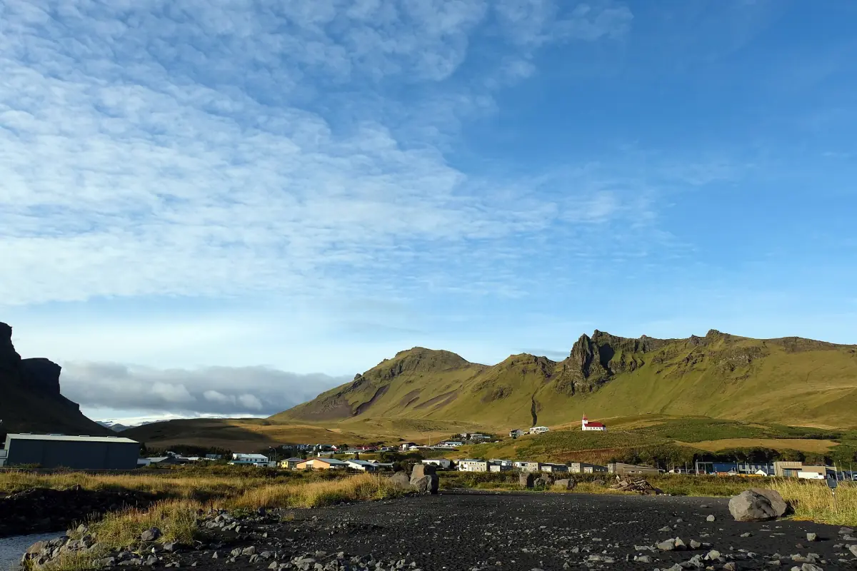
The experience featured on this page is a 55-minute lava demonstration in Vík. It includes admission, safety glasses, an educational film about Icelandic volcanism, a host explaining the behaviour of lava and a question-and-answer session. The personal history from the 1918 Katla eruption connects the demonstration with the surrounding region. It is a distinct indoor activity to consider when planning time in the village.
The lava is shown in a controlled interior setting. Keep that setting separate from a natural lava flow, an excursion to Katla’s crater or the guided ice-cave tours. These activities answer different interests: the demonstration focuses on heat, lava behaviour and interpretation, while a cave visit takes you into glacial terrain. The Vík guide places the village and its nearby stops in the wider South Coast itinerary.
Katla facts: glacier floods and meltwater caves
An eruption beneath ice can melt glacier ice and trigger a sudden flood, known in Icelandic as a jökulhlaup. Explosive basaltic activity can also spread tephra. These mechanisms explain why the relationship between volcano and glacier matters, but a glacier flood alone does not establish that an eruption has occurred. A specific event needs the interpretation and reporting of the monitoring authorities, rather than a conclusion drawn from a photograph of a river.
The visitor caves have a different immediate explanation: meltwater forms natural cavities in the glacier. Their shape, entrances and approaches change as the ice and water change. Describing them as tunnels directly carved by a current eruption would confuse the cave-forming process with the wider volcanic setting. Dark ash layers and white or blue-looking ice can appear together, without promising one fixed pattern or colour for a booked visit.
Seismic and GPS monitoring
The Icelandic Met Office links Katla monitoring with seismic observations and GPS measurements. These tools help specialists follow the system over time. A history of eruptions is not a clock, and a number of earthquakes is not an eruption date. Keep scientific background separate from the practical decision about a particular day’s glacier access. The guide assesses the visit route, while official warnings and instructions address conditions at the relevant time.
For travel planning, use vedur.is for weather and official monitoring information, SafeTravel.is for travel warnings and road.is or umferdin.is for the road journey. The safety guide explains the certified-guide requirement for tourist glacier visits. Enter the glacier and natural ice caves only with a certified guide, even if you have arranged the drive to Vík independently and the approach looks straightforward.
How to use the history when planning a visit
Choose the experience according to what you want to understand. The indoor demonstration makes lava behaviour and the 1918 story the focus. The cave outing combines organised transport with a guided approach to ice shaped by meltwater. Reading about Katla before travelling can enrich either experience, provided the geological background remains separate from promises about daily access, a specific cave chamber or a visible volcanic event.
Leave flexibility around an outdoor visit and take the weather-dependent nature of the route seriously. A changed cave route can still belong to the same glacier setting, while an unsuitable day can lead to cancellation. Compare the guided cave options by departure base and included services, then use the volcano’s history to interpret the landscape you encounter. That keeps the practical booking decision connected to what the experience actually visits.
Frequently asked questions
When did Katla last erupt through the ice?
The Icelandic Met Office identifies 1918 as the last eruption to break through the ice. This is a historical description, not a forecast.
Does an ice-cave tour visit the crater?
The guided cave visit explores the Kötlujökull ice-cave area. The lava demonstration is a separate indoor experience in Vík.
What forms the natural ice caves?
Meltwater shapes cavities in the glacier. Ice movement and changing water conditions alter the caves and their approaches.